Barcelona is a kind of Holy Grail for fans of urbanism. since the modern version of the Spanish city has a planning where the pedestrian is a priority in its tourist areas, thus breaking the hateful world trend in which public spaces are practically centered around the car.
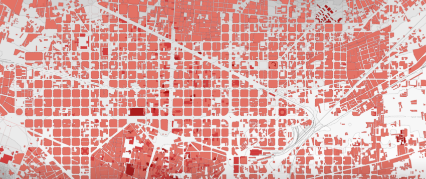
Another enviable aspect is the grid in which its blocks are formed, even in the areas furthest from the center. This spatial constancy, since it does not happen like in Mexico where there are irregular and sometimes anarchic blocks, is usually the envy of other cities due to how pleasant (more if you have OCD) they are from an aerial view.
It is in this spirit that at Webirix we share with you a great place where you can see the urban evolution of Barcelona not only through the decades but practically centuries ago. Although the center has irregular mega-squares, it is when we leave it that urban planning with heart and brain is observed.
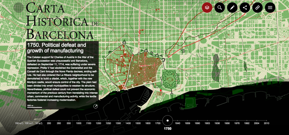
Under the title of Historical Charter of Barcelona, the site is an initiative of the Spanish city council and presents (with bibliography, historical data and selector of details) 26 maps dating from 150 BC to 2010. with academic rigor. And yes, the domain barcelona.cat includes the native termination of Catalonia, as well as .mx it is relative to Mexico.
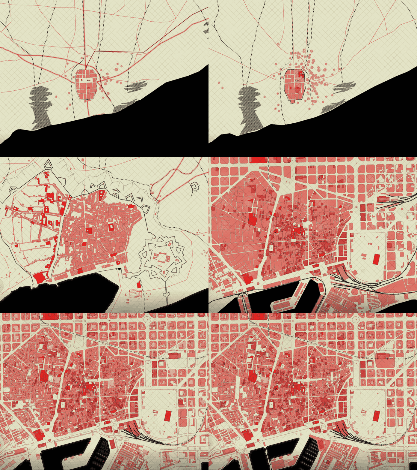
This GIF made by the specialized media CityLab compiles the 26 maps. How much the city has grown!
You can read more about the topic here and see the site with detailed maps, here.
Fun facts
- The Barcelona grid is due to the ideas of the urban planner Ildefonso Cerdá, and they date from 1859.
- The maps were made with the DataViz tool called 300000 km / s


No Comment